
01Find a lake that
Find a lake that
catches your eye.
Search by name or explore straight from the map. Looking for a particular fish? Use the species filter to discover matching waters.
Browse the lake directory →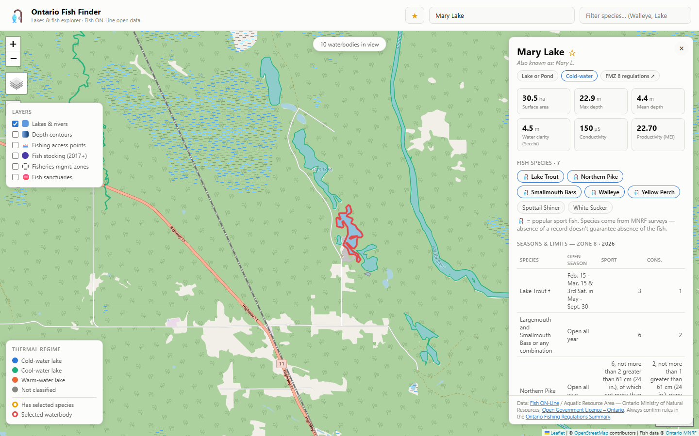
How it works
From “where should we go?” to knowing your water. Bring lake information, fish species, and trip planning together in one map.
Free to explore. No account needed to get started.
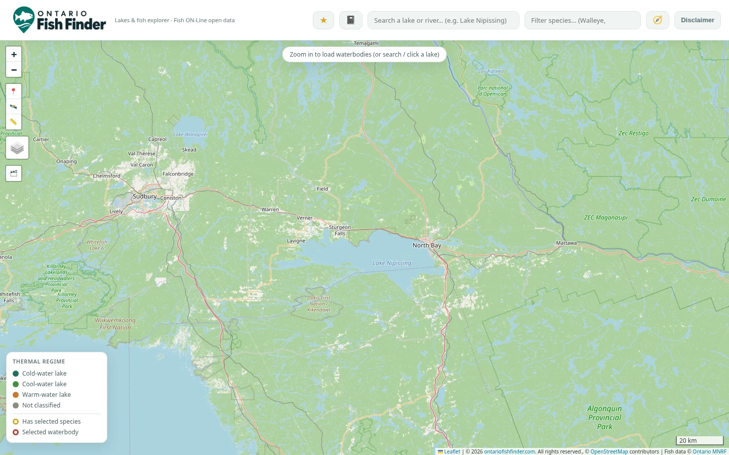
Search by name or explore straight from the map. Looking for a particular fish? Use the species filter to discover matching waters.
Browse the lake directory →Open a lake profile to explore recorded species, depth, water clarity, and its fishing zone. Available stocking records give you another piece of the picture.
Coverage varies by lake. A missing record does not mean a fish species is absent.
Get to know the species →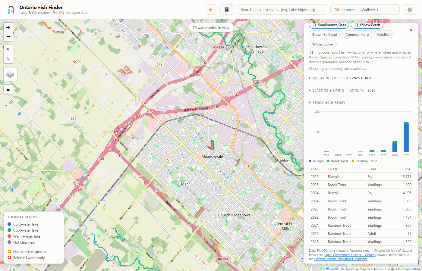
Check available conditions and access information, then confirm the official rules for your destination. Star the lake for later, and use the catch log and waypoints to remember your trip.
Explore fishing zones →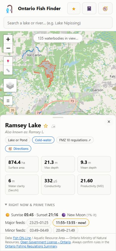
Explore what matters for your trip, with detail where the source data is available.
Lake profiles, species filters, Explore mode, and the trip planner help you compare waters.
Explore the map →Weather, nearby water levels, sunrise and sunset, and solunar times add context to your plans.
Live conditions require a connection. Solunar times are a planning aid, not a catch prediction.
Find zone regulations, waterbody exceptions, and consumption-advisory information.
Confirm the official fishing rules ↗Save favourites, record catches, and add named waypoints. Export your saved information from the map.
See your saving options ↓
Automatic dark mode follows your device’s appearance setting, giving the map a darker palette when you prefer it.
Add the map to your home screen for easy access. Prepare your lakes while connected, then check what’s available offline on your device.
Let the map and your chosen lake details finish loading. Star the lakes you want to revisit, then test them with your device offline before relying on them away from a connection.
Saved detail depends on what loaded successfully. Map backgrounds only cover cached areas and zoom levels. Clearing browser data or storage eviction can remove saved information.
Offline records are saved copies. Reconnect to refresh information, and confirm current regulations before your trip.
You can browse and save favourites, catches, and waypoints without creating an account.
Create a free account →Your saved information stays in this browser on this device. Export it to keep a separate copy before clearing browser data or changing phones.
Sign in to sync favourites, catches, and waypoints across devices when connected. Manage saved items from your account page.
A familiar favourite or a lake you’ve never tried. Find your next spot.