- Surface area
- 87,325.0 ha
- Max. depth
- 52.0 m
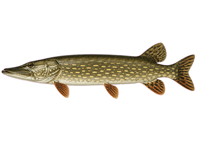
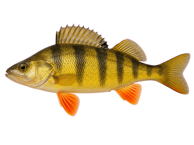
Recorded speciesWhite Sucker · Yellow Perch · Northern Pike · + more
Show on map →Ontario Fish Finder · Free to explore
Find a lake, discover its fish, and get to know the water before you go. Your Ontario fishing map, free to explore.
Where would you like to fish?
Six places to start exploring, with recorded species and lake details to help you compare.
Recorded speciesWhite Sucker · Yellow Perch · Northern Pike · + more
Show on map →Recorded speciesWhite Sucker · Yellow Perch · Northern Pike · + more
Show on map →Recorded speciesWhite Sucker · Yellow Perch · Northern Pike · + more
Show on map →Recorded speciesWhite Sucker · Yellow Perch · Northern Pike · + more
Show on map →Recorded speciesWhite Sucker · Yellow Perch · Northern Pike · + more
Show on map →Recorded speciesYellow Perch · Walleye · Smallmouth Bass · + more
Show on map →Open a lake on the map and tap ☆ to save it here.
Lake profiles you visit will appear here.
Bring the available lake information together, then follow the sources for the details that matter.
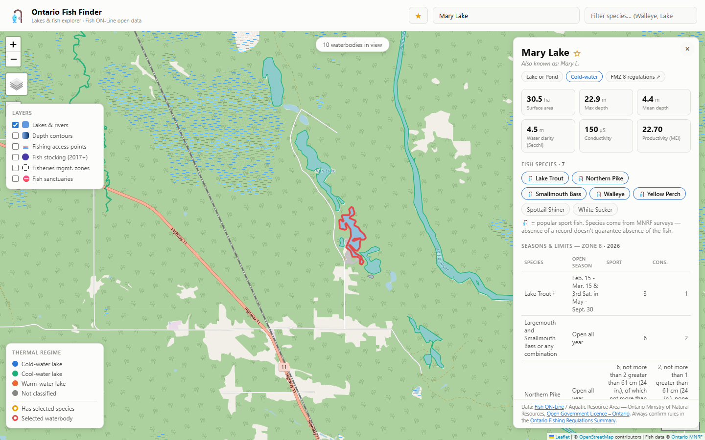
Search by lake name for recorded fish species, depth, water clarity, thermal regime and Fisheries Management Zone.
Per-lake seasons and catch limits by zone, waterbody exceptions, and fish sanctuary boundaries.
Explore available weather, water levels, daylight, and solunar times. Live conditions need a connection.
Star your lakes and prepare saved information before you lose signal. Check what is available offline on your device.
Choose a species for Ontario techniques, preferred water temperatures, and direct links to lakes where that fish appears in MNRF records.
Ontario's fishing waters are split into 20 Fisheries Management Zones, each with its own seasons and catch limits. The map looks these up for you automatically.
Use the zone overview to get oriented, browse lakes by zone, and check the official rules and waterbody exceptions before your trip.
An independent project using Ontario open data, Environment Canada services, and community observations. Coverage and update schedules vary by source.
Explore a familiar lake or find somewhere new. Start with the map, and let your curiosity take it from there.
Open the map →