
Free to explore
Open the map and start discovering. No account is needed to browse lakes and fish species.
About Ontario Fish Finder
Get to know the water before you go. Discover Ontario lakes, explore fish species, and bring your next trip into focus.
Free to explore · Independent · Built for Ontario
Ontario Fish Finder started from a simple frustration: planning a fishing trip meant piecing together government tools, maps, and PDFs. One for fish species. Another for lake depth. More for regulations and consumption advisories.
The idea was simple: bring that information together around the place you want to fish, so you can spend less time searching and more time planning a day on the water.
See where the data comes from →Open the map and start discovering. No account is needed to browse lakes and fish species.
An independent project that brings public information together, with links back to its sources.
From lake profiles to fishing zones, the focus stays on helping you explore Ontario’s waters.
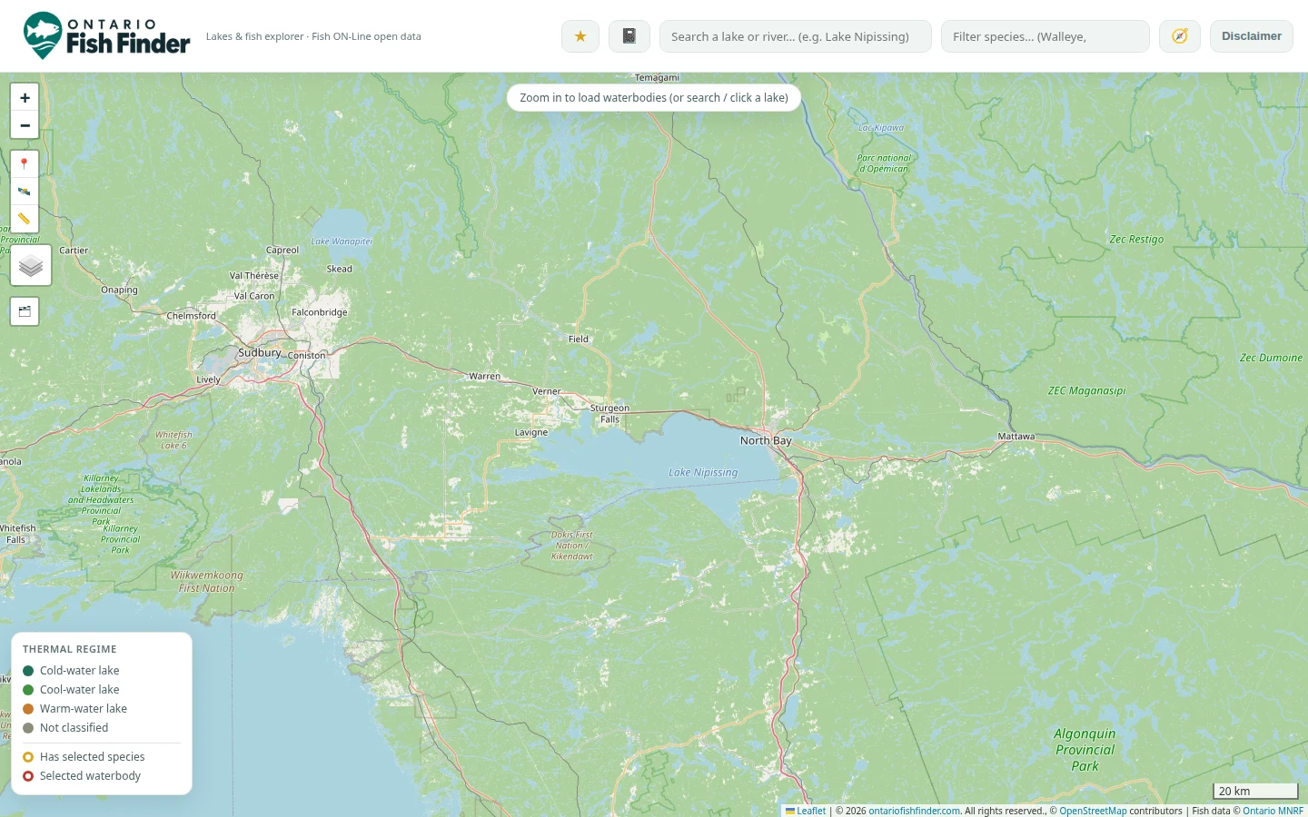
Explore the map or browse the lake directory for a place that catches your eye.
Explore recorded fish species, depth, and other available lake information in one place.
Find the fishing zone and follow the official sources for regulations and advisories.
Know what you’re looking at, and where it comes from. These are the sources behind the lake information, regulations, weather, and observations you can explore.
A useful starting point. Coverage and update schedules vary by source. Missing records don’t mean a species is absent, and a dataset snapshot is not a new lake survey. Ontario Fish Finder is an independent project, not an official government service.
All Ontario data © King's Printer for Ontario, released under the Open Government Licence – Ontario. Base maps © OpenStreetMap contributors. Not a legal document — always confirm seasons, limits and sanctuaries in the official Ontario Fishing Regulations Summary before you head out.
There’s more water to discover
A familiar lake or somewhere completely new. Start exploring.